The Pacific Crest Trail is a National Scenic Trail that stretches from Canada to Mexico, and therefore traverses the entirety of Oregon, north to south. The PCT was featured in Wild, the popular book-turned-movie by Cheryl Strayed. Multiple waterfalls can be seen from the PCT, and on Memorial Day weekend of 2023, we drove to the gorge intent on finding one of them.
We started at the Herman Creek Trailhead, and parking was no easy task! There were so many cars! When you make your trip here, plan to arrive early and/or avoid holiday weekends.
There are several hiking options from this trailhead, so make sure you have good directions before you arrive. We used the Herman Creek Pinnacles hike description from OregonHikers.org and had no issues.
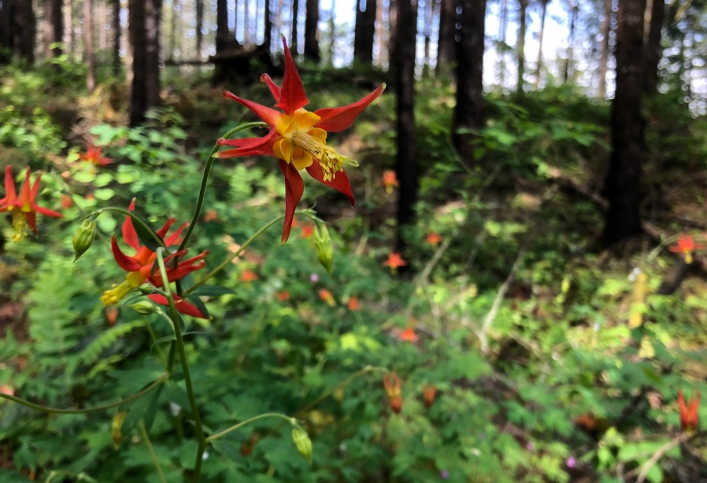
The trail has some steep sections, but it also has some admirable views, passes through volcanic rock, displays some unusual flora (like the flower pictured above – isn’t it stunning?!), crosses a waterfall (I’ll get back to that!), and ends at some pinnacles!
Wait – What are pinnacles?
Good question.
According to OregonHikers.org, “The Herman Creek Pinnacles are odd basalt formations, originally chunks of the cliffs above that slid down in a landslide. They consist of brittle rock that often breaks, cascading down the surface to create an apron of talus.”
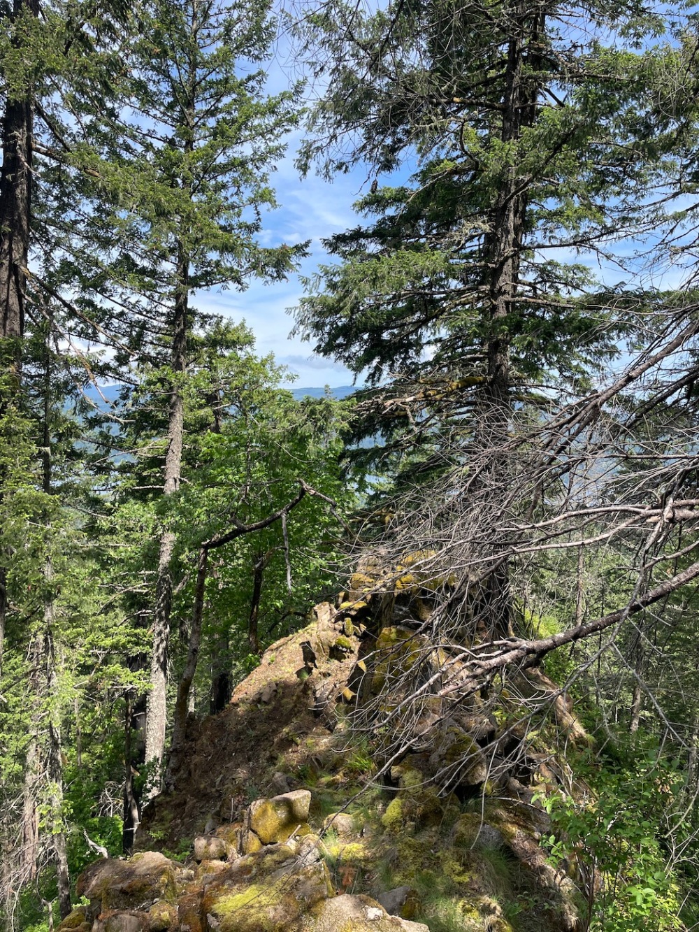
We didn’t spend much time at the pinnacles, but we did walk out along this jutting rock to enjoy the view of the gorge. There was a convenient fallen log for us to sit on and eat our lunches here, as well.
And now the topic you really care about… Pacific Crest Falls.
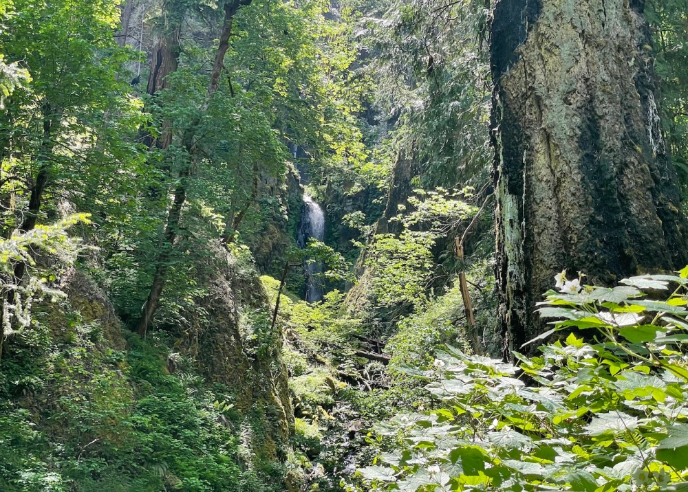
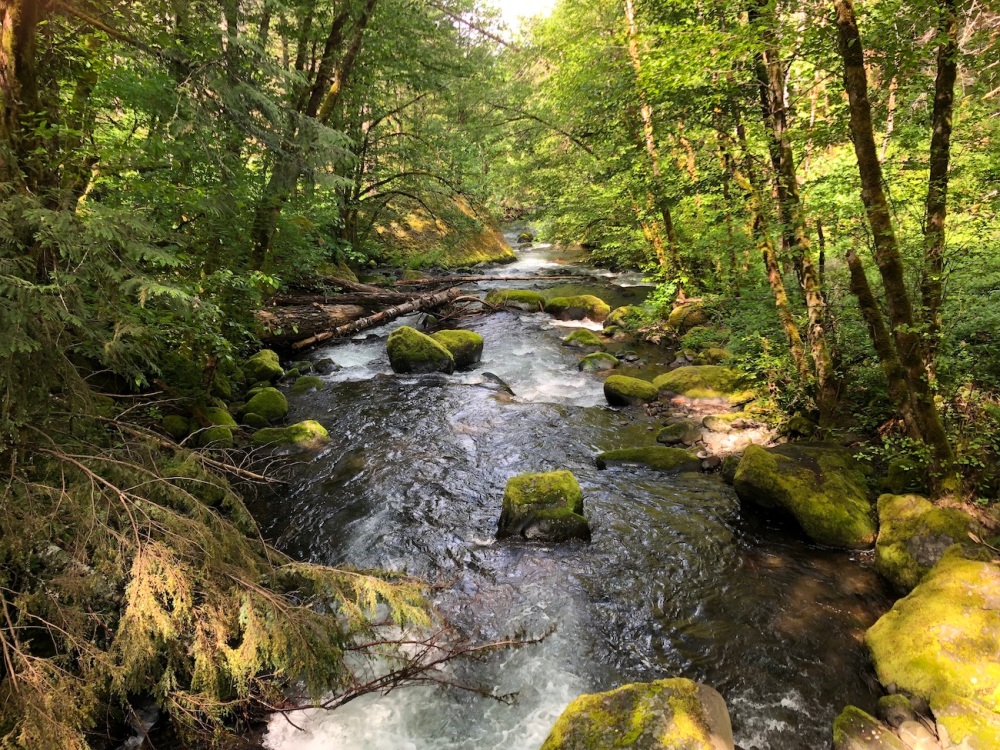
This waterfall is both impressive and a bit unsatisfactory. The creek drops in multiple tiers with a remarkable combined height; one could even argue that the waterfall continues below the trail as the creek tumbles away. The trail crosses the creek without a bridge, providing the feeling of being up close and personal with the cascade.
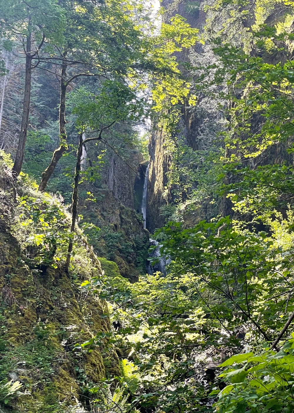
However, the top tiers are semi-distant, tucked into a narrow gorge. The height and depth of Pacific Crest Falls, combined with interplay of light and shade from the cliffs above, make it challenging to photograph.
I have to say that I am left with wanting more from Pacific Crest Falls – not because it was unenjoyable, but because it has so much potential and mystique that is just out of reach.
SUMMARY:
My rating: Highly Recommended (3 stars) (Waterfall – 2 stars, Trail – 4 stars, Experience – 3 stars)
Distance from Beaverton: 1.25 hours east
Nearest town: Cascade Locks
Nearest city: Portland
County: Hood River County
Length of round-trip hike: Around 4.5 miles to the waterfall or 5 miles to the pinnacles and back. (Note that you need to at least cross the creek to gain the best views of the waterfall.)
Best season to visit: Late winter to early summer. If visiting in winter, check conditions to make sure the trail and roads aren’t closed due to snow or ice. Also be mindful of the need to cross the creek; I suspect this may be an icy adventure at times during the winter.
Things to know:
- A Recreation Pass is required. I was able to purchase one onsite.
- As mentioned above, be prepared to cross the creek to view the upper tiers of the waterfall. This was not remotely treacherous on our adventure in late May, but if you visit earlier in the year, when the creek is likely to run full, you could very possibly get your shoes wet.
- Even though the parking lot was full during our visit, we only passed a handful of other hikers. I suspect most people choose to follow the Herman Creek Trail instead of the Herman Bridge Trail to the PCT. (The Herman Creek Trail also offers waterfall experiences, so hopefully you’ll be hearing more from me about it soon!)
- Since Pacific Crest Falls is on the PCT, there are many options to make this a longer hike. Here is a description of a longer trek from the opposite direction which also includes a visit to Dry Creek Falls.
Consider combining this trip with: Dry Creek Falls, Gorton Creek Falls, or the waterfalls on Herman Creek Trail
Toilet / Amenities: Toilet and picnic table at trailhead
How to get there:
- From Portland, take I-84 east to Cascade Locks exit #44.
- Drive under I-84 and 1.8 miles through Cascade Locks on Wa Na Pa Street. The road curves to the right and crosses under the freeway again, and becomes Frontage Road.
- Drive another 1.6 miles east and turn right at the sign for Herman Creek Campground. Follow the road past the campground; the road wanders around for a little while, but the trailhead is obvious when you get there. If the parking lot is full, drive back down the road for alternate parking spots.
- You’ll start on Herman Creek Trail, which soon crosses a power line corridor; head right and uphill to find the trail.
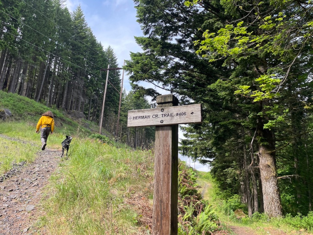
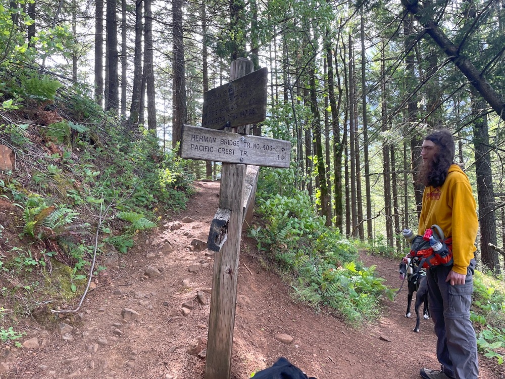
- At 0.6 mile, you’ll leave the Herman Creek Trail at the junction with Herman Bridge Trail. Turn right and slightly downhill.
- At the junction with the PCT, turn to the right once again. Before long, the trail crosses the creek at the base of the waterfall, and the pinnacles are a short distance farther.
Helpful links:
- https://www.oregonhikers.org/field_guide/Herman_Creek_Pinnacles_Hike
- https://www.oregonhikers.org/field_guide/Pacific_Crest_Falls
- https://www.oregonhikers.org/field_guide/Herman_Creek_Trailhead
- https://www.outdoorproject.com/united-states/oregon/pacific-crest-falls-hike-herman-bridge-trail
- https://www.fs.usda.gov/recarea/crgnsa/recarea/?recid=29924
